
PROJECT / 2026
Foldscape.
A procedural urban landscape shaped by density, accumulation, and spatial pressure.
Foldscape is a speculative urban visualization project that transforms OpenStreetMap building data into folded architectural landscapes. Building height and spatial density drive procedural deformation, causing urban forms to stretch, twist, and accumulate. The project treats density as a spatial force and explores how urban data can generate emergent spatial forms.
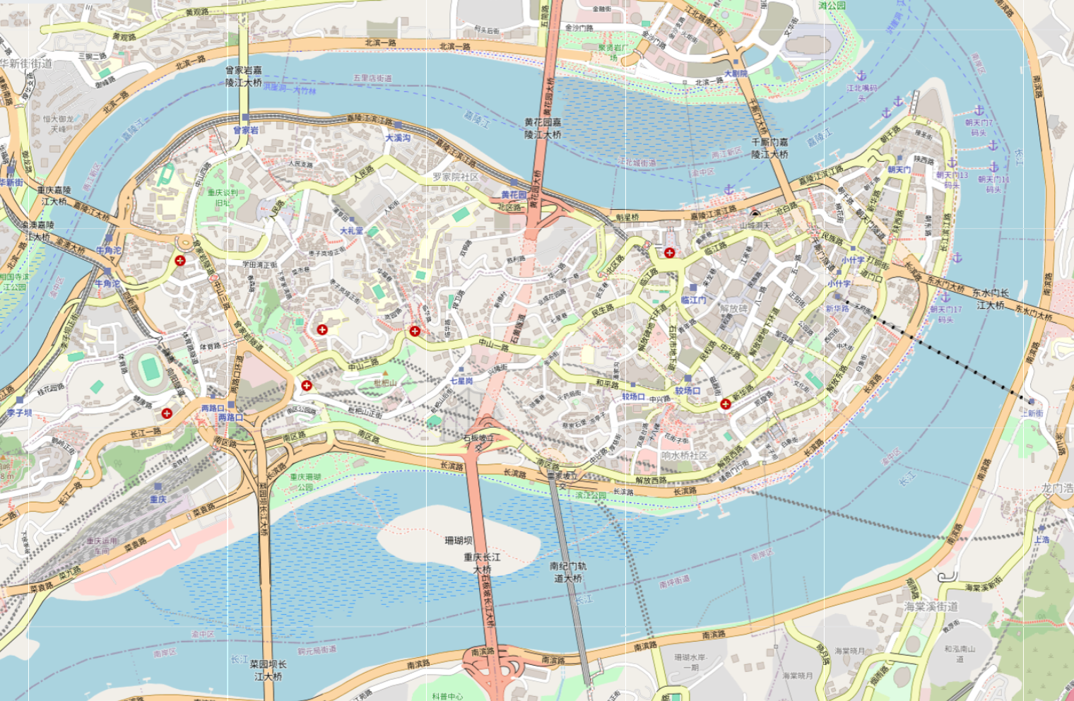
Chongqing
CHINA29.56° N, 106.55° E
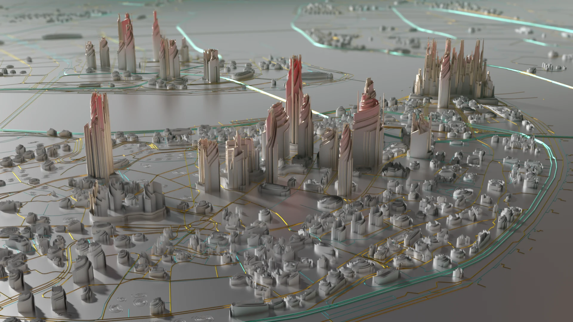
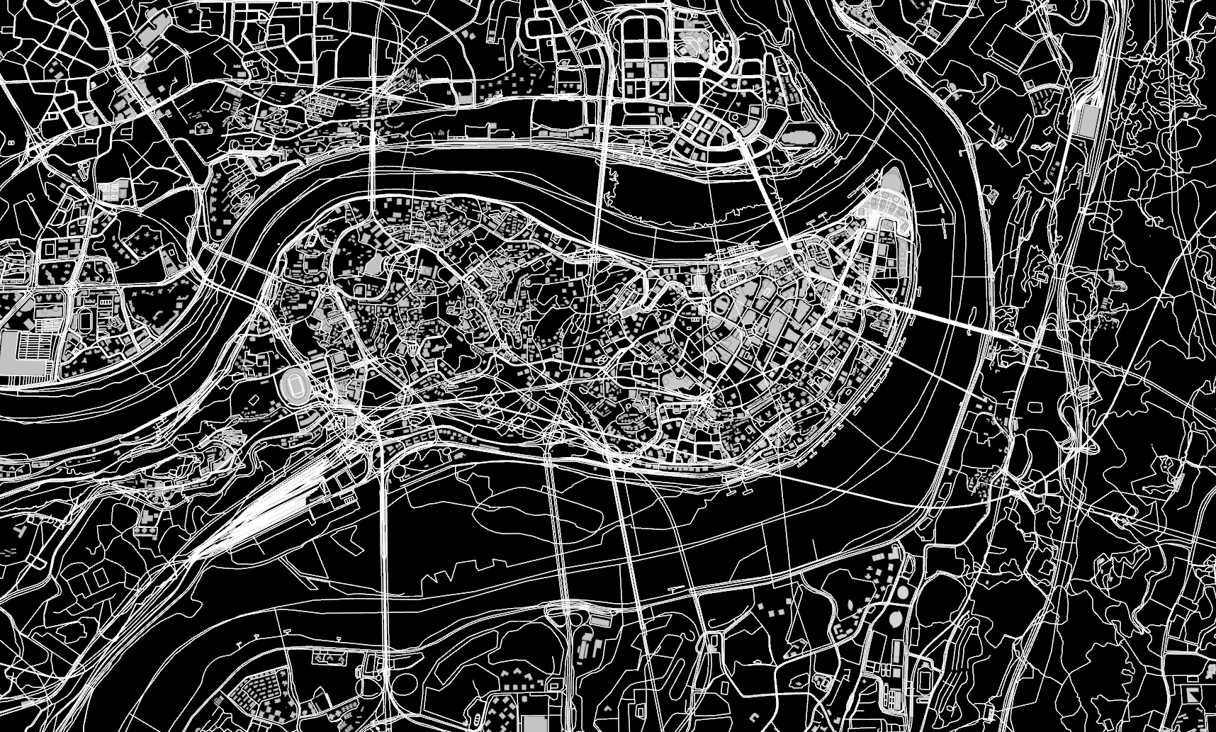
Layered | Mountainous Fabric
Irregular urban density shaped by steep terrain, layered roads, and hillside development.
New York
USA40.71° N, 74.01° W
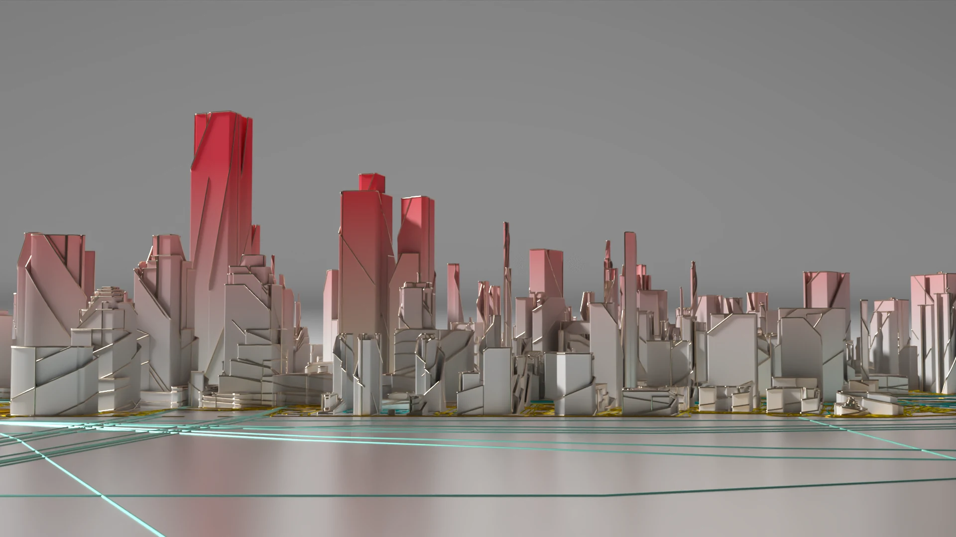
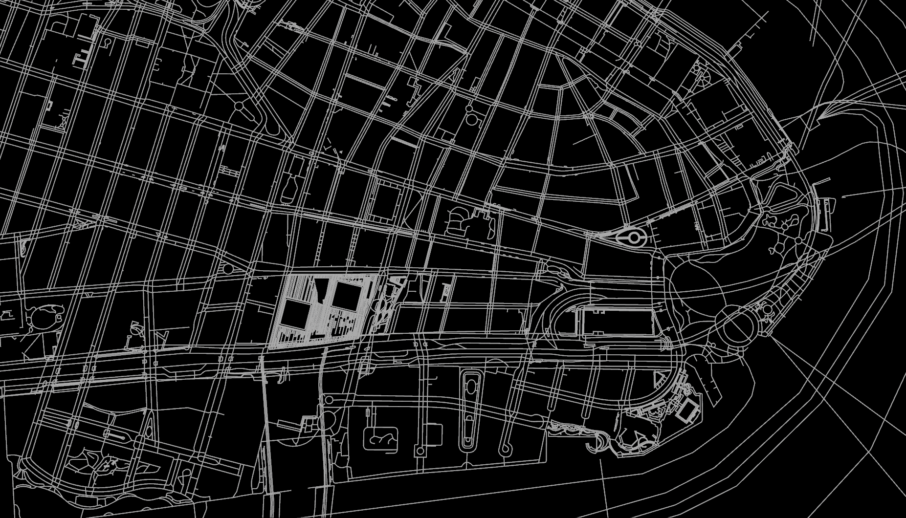
Gridded | Vertical Fabric
Orthogonal blocks and concentrated vertical growth shaped by a rigid street grid and regular parcels.
Urban Pressure as Form
DATA / FORMFoldscape interprets urban density as a force acting on architecture. Buildings bend, stretch, and accumulate until the skyline becomes a compressed terrain. The resulting landscapes are not simulations of real urban conditions, but speculative forms generated through procedural rules.
System
03OSM building extraction
Extract building footprints from OpenStreetMap as the starting geometry.
street network extraction
Extract the street network to define the urban layout.
height-based analysis
Use building height and spatial density to guide deformation.
spatial scattering
Distribute points across the footprints to prepare the generated forms.
volumetric trail generation
Generate vertical trails through the volume to build the spatial structure.
procedural folding and vertical stretching
Fold and stretch the generated forms into the final urban landscape.
.webp)
.webp)
.webp)
.webp)
.webp)
.webp)